AgroVision Labs Editorial Team
Research and documentation of computer vision applications in Canadian agriculture and forestry
What We Do
We're here to make computer vision and remote sensing technologies accessible to anyone working in Canadian agriculture and forestry.
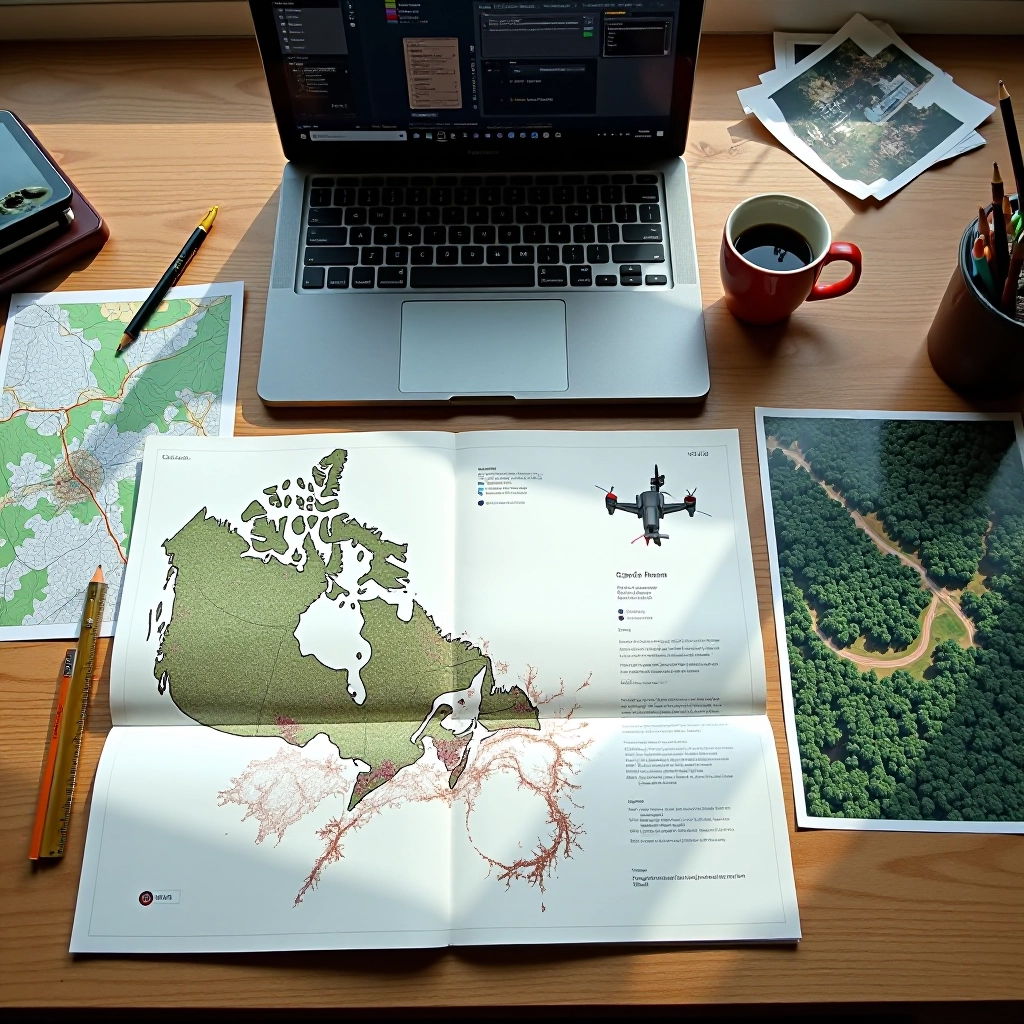
We research current practices in drone and satellite imagery for agricultural and forestry monitoring across Canada, focusing on how computer vision tools are actually being applied in the field. Our work involves testing technical information, verifying methodologies used by labs in the Montreal region, and staying current with evolving imaging technologies and their real-world applications.
We believe clear, honest information about drone imagery, satellite analysis, and image processing methods should be freely accessible. That's why we don't hide behind marketing claims or unverified promises. Instead, we tell you what works, what doesn't, and where the genuine limitations sit. Every guide is written in plain language, explaining practical applications without the jargon.
How We Work
Our editorial approach is built on verification, not assumptions
Research & Testing
We investigate current practices by reviewing technical documentation, examining real-world implementations, and testing methodologies used across Canadian agricultural and forestry operations. We don't take marketing claims at face value.
Verification & Detail Checking
Every fact gets checked. We verify equipment capabilities, field results, and technical specifications before they make it into our guides. If something doesn't work as advertised, you'll know about it.
Regular Updates
Technology evolves. We review our content regularly to reflect new tools, emerging techniques, and lessons learned from the community. What's current today gets refreshed when the landscape shifts.
What We Cover
Agricultural Applications
Drone and satellite imagery for crop monitoring, multispectral analysis for early stress detection, yield prediction, soil mapping, and precision input management. We focus on tools that work at farm scale and explain how image analysis actually translates into field decisions.
Forestry & Remote Sensing
Satellite time-series analysis for forest health monitoring, change detection across seasons, timber inventory assessment, and environmental baseline mapping. We break down what different sensors see, how to interpret the data, and what limitations exist in automated analysis.
Our Focus Areas
We specialize in the practical intersection of technology and field reality
Satellite Imagery Analysis
Understanding multispectral data, time-series analysis, and how to convert raw satellite feeds into actionable field information for monitoring and planning.
Drone-Based Solutions
Practical guidance on sensor selection, flight planning, image capture best practices, and how to extract meaningful data from high-resolution drone photography.
Computer Vision Techniques
How image processing algorithms work, what they can and can't do, and where human judgment still matters more than automation in real field conditions.
Practical Implementation
Real-world workflows for Canadian farms and forests—workflow setup, data management, integration with existing operations, and honest talk about what works and what doesn't.
Why Trust This Content
We're not selling you anything. There's no commission in our recommendations, no affiliate links pushing expensive tools, and no incentive to exaggerate what's possible. We write about technology the way we'd explain it to someone in our own community—honest, practical, and grounded in what actually works.
Our credibility isn't based on fancy credentials or award plaques. It's built on the willingness to investigate claims, admit when we don't know something, and update our guides when new information changes what we previously believed. We check details because the people reading this rely on our accuracy to make real decisions about equipment, workflows, and resource allocation.
You'll find no "revolutionary breakthroughs" or "game-changing technology" here—just clear explanations of what drone imagery, satellite data, and computer vision can actually do in Canadian agriculture and forestry contexts. If something falls short, we'll tell you. If something excels, we'll explain why.
Recent Articles
Practical guides and technical breakdowns from the editorial team
Multispectral Imagery for Early Crop Stress Detection
How to read multispectral data, interpret vegetation indices, and spot stress patterns before they become visible to the naked eye.
Monitoring Forest Health with Satellite Time-Series Data
Using satellite imagery across seasons to track forest condition, detect change, and establish environmental baselines for monitoring and planning.
Choosing the Right Drone Sensor for Your Farm
Understanding sensor specs, comparing options for different crop and landscape scenarios, and making informed decisions without overspending.
Converting Satellite Data into Actionable Field Maps
Workflow steps for taking raw satellite data, processing it with computer vision, and creating maps that drive real decisions on the ground.
Questions or Feedback
We'd like to hear from you about our content, corrections, or topic suggestions