
Our Work
Real-world applications of computer vision across Canadian agricultural and forestry landscapes
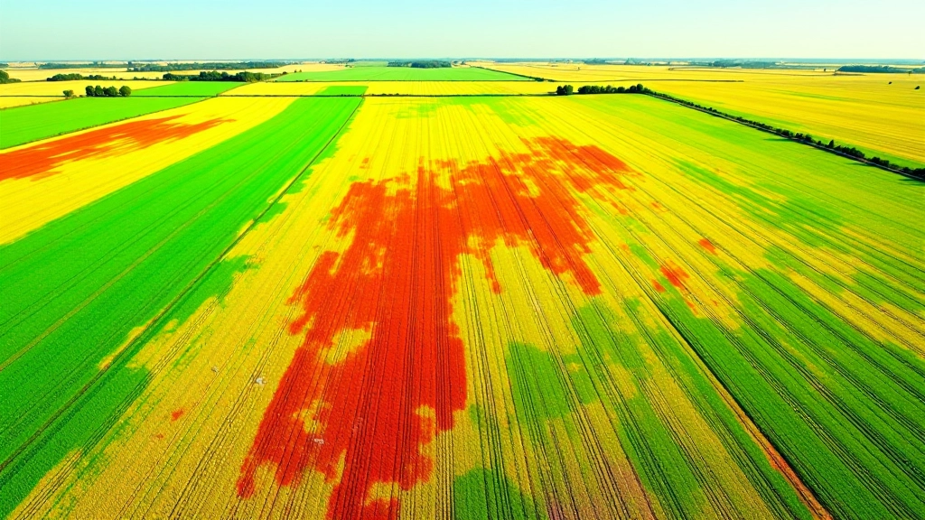
Multispectral Crop Stress Mapping
We analyzed 240 hectares of grain production across three growing seasons, using NDVI indices to map spatial variability in crop performance. The imagery helped identify micro-zones requiring targeted management, reducing input waste by focusing resources where they matter most.
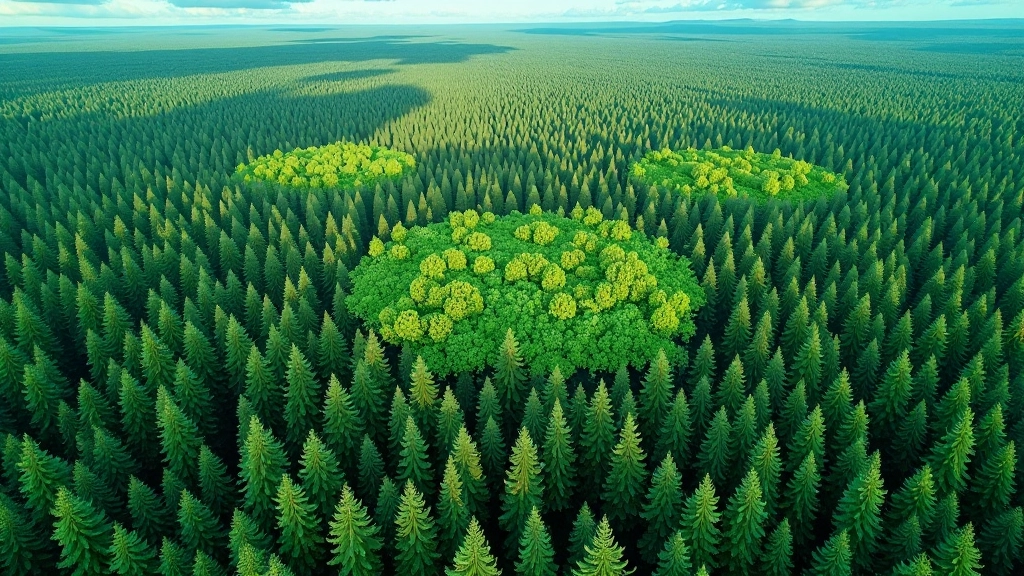
Boreal Forest Inventory via Satellite Time-Series
Tracked changes across 18,000 hectares of managed forestland using 8-month satellite time-series. We converted raw Sentinel-2 data into structured field maps showing canopy structure, disturbance patterns, and timber volume estimates—delivered as actionable GIS layers for harvest planning.
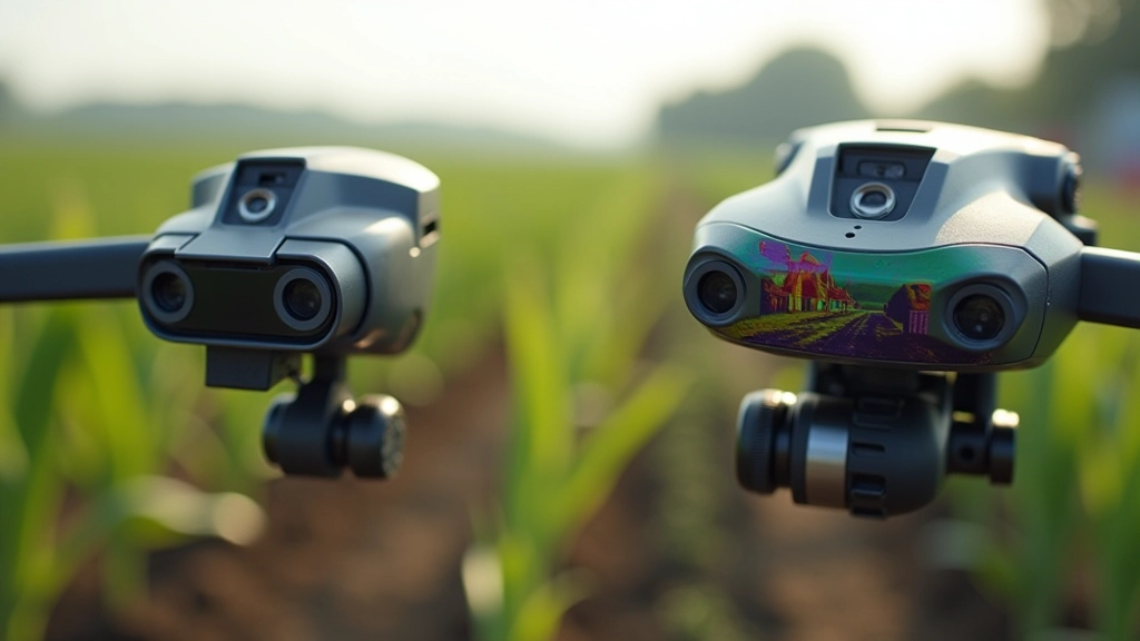
Drone Sensor Comparison for Specialty Crops
Evaluated three drone platforms across blueberry and apple orchards to match sensor capabilities with monitoring goals. We created practical comparison frameworks covering flight time, spectral resolution, and data processing workflows—helping operations choose sensors aligned with their budget and analytical needs.
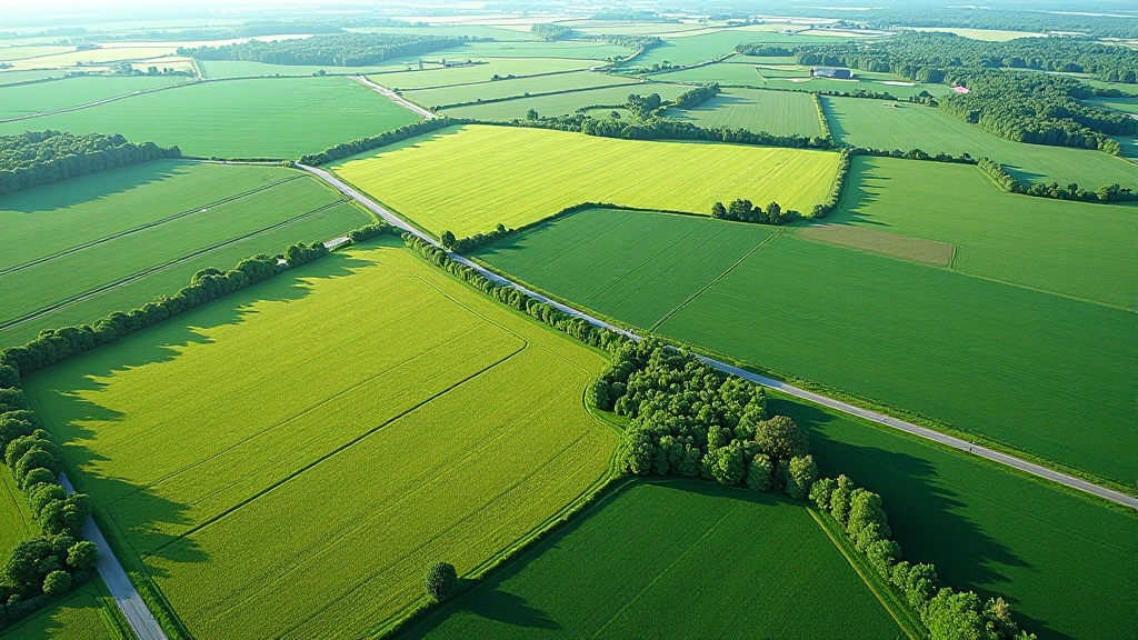
From Raw Satellite Data to Field Maps
Developed end-to-end processing pipelines converting Sentinel-2 and Landsat data into georeferenced field maps. The workflow includes atmospheric correction, cloud masking, vegetation index calculation, and automated field boundary detection—turning open-source satellite imagery into practical tools for land stewardship.
Ready to explore what computer vision can reveal about your land?
Get in touch to discuss how drone and satellite imagery can inform your agricultural or forestry decisions.
Start a Conversation