Multispectral Imagery for Early Crop Stress Detection
Learn how multispectral cameras detect crop stress weeks before it's visible to the human eye.
Read MoreRGB cameras versus multispectral versus thermal — what you actually need depends on your specific problems. We break down the trade-offs and typical costs.
Written by the AgroVision Labs editorial team, focused on practical, transparent guidance for agricultural and forestry imaging professionals.
There's no single "best" sensor for farming. The right choice depends on what you're trying to solve. Are you spotting crop stress early? Measuring yields? Checking irrigation patterns? Each task demands different data.
Most farms start with RGB — standard color cameras. They're affordable, familiar, and work well for basic documentation. But they've got limits. RGB shows what your eyes see, nothing more. If you need to detect problems before they're visible, you'll need something else.
RGB sensors capture red, green, and blue wavelengths. That's what human eyes see. They're lightweight, fast, and generate massive image files (which can be a problem). For visual inspection — checking on weeds, documenting field conditions, creating orthomosaics — RGB is practical.
The downside: you won't spot plant stress until damage is already showing. A healthy-looking field can hide serious problems in the plant's physiology.
Multispectral cameras capture beyond human vision. They record near-infrared (NIR) along with visible light. Here's why that matters: healthy plants reflect infrared differently than stressed plants. You'll spot problems 1-3 weeks before they're visible.
Multispectral drones cost 2-3 times more than RGB setups. A decent system runs $8,000–$15,000. But if you're managing hundreds of acres and want early warning on disease, pest pressure, or irrigation issues, the investment pays back quickly through prevention.
Thermal sensors measure heat radiation. They're useful for irrigation management — wet soil stays cooler than dry soil. You'll spot under-watered patches instantly. Thermal is also valuable for detecting disease pressure in dense crops where moisture gets trapped.
Key point: Thermal + multispectral together give you the most complete picture. Multispectral catches plant physiology changes. Thermal reveals moisture stress and temperature anomalies. Some modern drones combine both in one payload.
Thermal systems range from $5,000 for basic radiometric cameras to $25,000+ for research-grade equipment. Resolution matters — lower-resolution thermal is cheaper but loses detail on large fields.
One real constraint: thermal works best in early morning or late afternoon. Midday heat makes interpretation harder because ground and plants warm up uniformly.
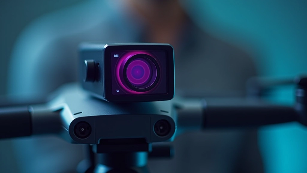
Start by asking: What problem am I trying to solve?
RGB is sufficient. Save your budget.
Multispectral. Worth the investment if you manage 100+ acres.
Thermal gives quick wins. Consider multispectral for dual insights.
Combine multispectral + thermal on one platform.
Don't buy based on what your neighbor uses. Your problem is unique. RGB works great if you're just checking on things visually. But if you're trying to manage risk across large acreage, multispectral or thermal delivers value that justifies the cost.
A sensor is only useful if you can actually use the data. RGB files are large but straightforward — standard image processing tools handle them. Multispectral and thermal data require specialized software to extract insights.
Many farms pair drones with cloud-based analysis platforms. You fly the mission, upload the images, and get analysis reports. That convenience adds cost but saves time on processing and interpretation.
Before investing in a sensor, confirm you have the software and expertise to analyze the output. A multispectral camera without proper data processing is just an expensive RGB camera.

Weight and battery life matter more than specs. A heavy sensor reduces flight time and limits coverage. Most agricultural drones max out at 20-30 minute flights. If your sensor adds significant weight, you're flying shorter missions and covering less ground.
Weather constraints vary by sensor type. RGB works in most light conditions. Thermal needs clear skies (clouds block infrared data). Multispectral performs best in consistent lighting — haze or clouds degrade NIR signatures.
Start small. Don't commit to a $20,000 multispectral rig if you've never flown drones before. Rent equipment first. Understand your actual workflow and data needs. Then invest in hardware that fits your real operation.
Disclaimer: This article is for educational purposes. Sensor selection depends on your specific farm conditions, crop types, and management goals. We recommend consulting with local agricultural extension services or drone professionals who understand your region's climate and soil conditions before making equipment purchases. Technology specifications and pricing change frequently — verify current details with manufacturers and vendors before committing to investments.
The right sensor isn't the fanciest one. It's the one that solves your actual problem without overcomplicating your workflow. RGB for visual documentation. Multispectral for early stress detection. Thermal for irrigation management. Or combine them if your operation justifies the investment.
Start by defining what you need to know about your fields. Then choose the sensor that delivers that information reliably. Everything else is just nice to have.
Explore more about agricultural imaging and data analysis
Learn how multispectral cameras detect crop stress weeks before it's visible to the human eye.
Read More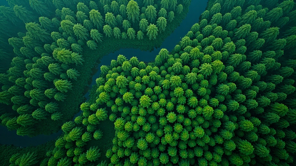
Track forest canopy changes month-to-month using freely available satellite imagery.
Read More
Raw satellite imagery isn't useful until you process it. Learn the workflow for creating field-level insights.
Read More